To question Creedence Clearwater Revival, though, is trouble on its way?
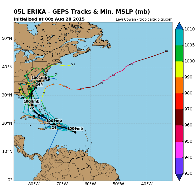
Tropical Storm Erika is churning her way through the warm waters of the Atlantic just now and almost all computer models point to a Florida landing sometime Monday. Tropical systems are notoriously unpredictable and Erika’s path has a wide margin of error and her intensity is even more heavily debated. The National Hurricane Center has Erika peaking at strong tropical storm status though there are a few computer models which call for her to reach two, three or even four status.


If Erika survives a strong shear and the topography of Hispaniola, she will start to strengthen as she makes her way toward the Florida peninsula. If not, she’ll collapse into a meteorological heap. If she does make it to the Sunshine State as a hurricane, she’ll be the first to do so in 10 years since the wicked hurricane season of 2005. That year saw Florida devastated by Hurricane Wilma, the strongest storm ever recorded in the Atlantic Basin. It had weakened to a Category 3 storm by the time it made Floridian landfall in late October and holds a rare and dubious honour of actually strengthening over land due to the state’s flat terrain and very large Lake Okeechobee.
Of course, Wilma paled significantly in comparison to the horrors that Hurricane Katrina wrought along the Gulf of Mexico shores and, particularly, in New Orleans that same year. A decade later, the city still shows the ravages of this deadly storm.
Here in Scotland, we don’t get hurricanes…well, not officially, anyway. We do, however, feel the effects of the remnants of these tropical systems including the poundings we took last year from both Hurricane Gonzalo and Hurricane Bertha.
The weekend will be crucial in knowing more about Erika’s strength and destination. And while it appears to be heading to American shores, watch this space to see if she’s heading in our direction at all.